How to read a parish map
Parish maps function as indexes to land titling and land tenure records. This webinar shows you how to make sense of all of the details on a parish map.
Land guides
Colonial Secretary's letters relating to land 1826-1856
Search 20,000 entries covering requests from individuals for land – leases and purchases – received by the Colonial Secretary's office between 1826 and 1856
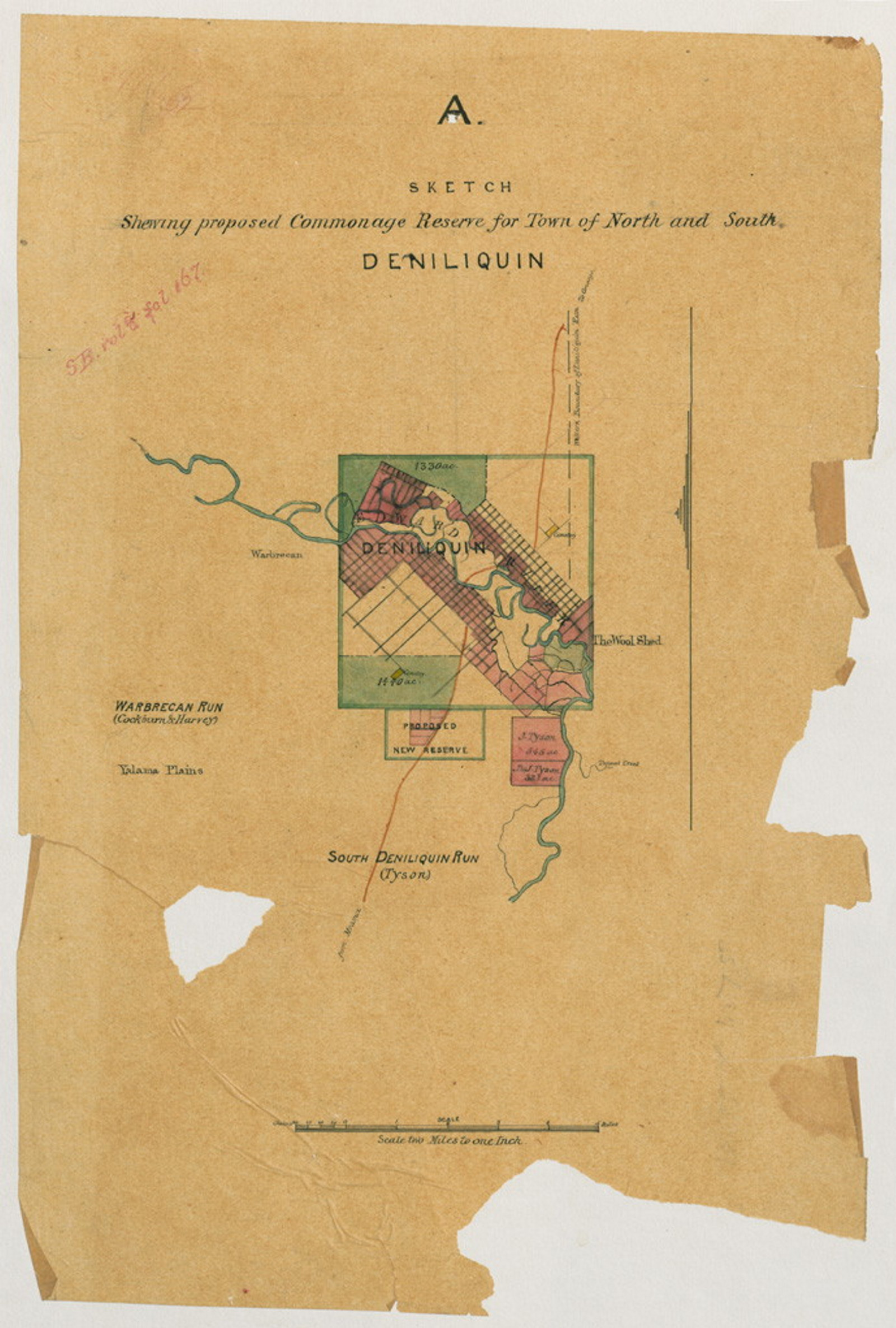
Commissioners of Crown Lands guide
A brief overview of the major sources and key related series we hold that relate to the Commissioners of Crown Lands
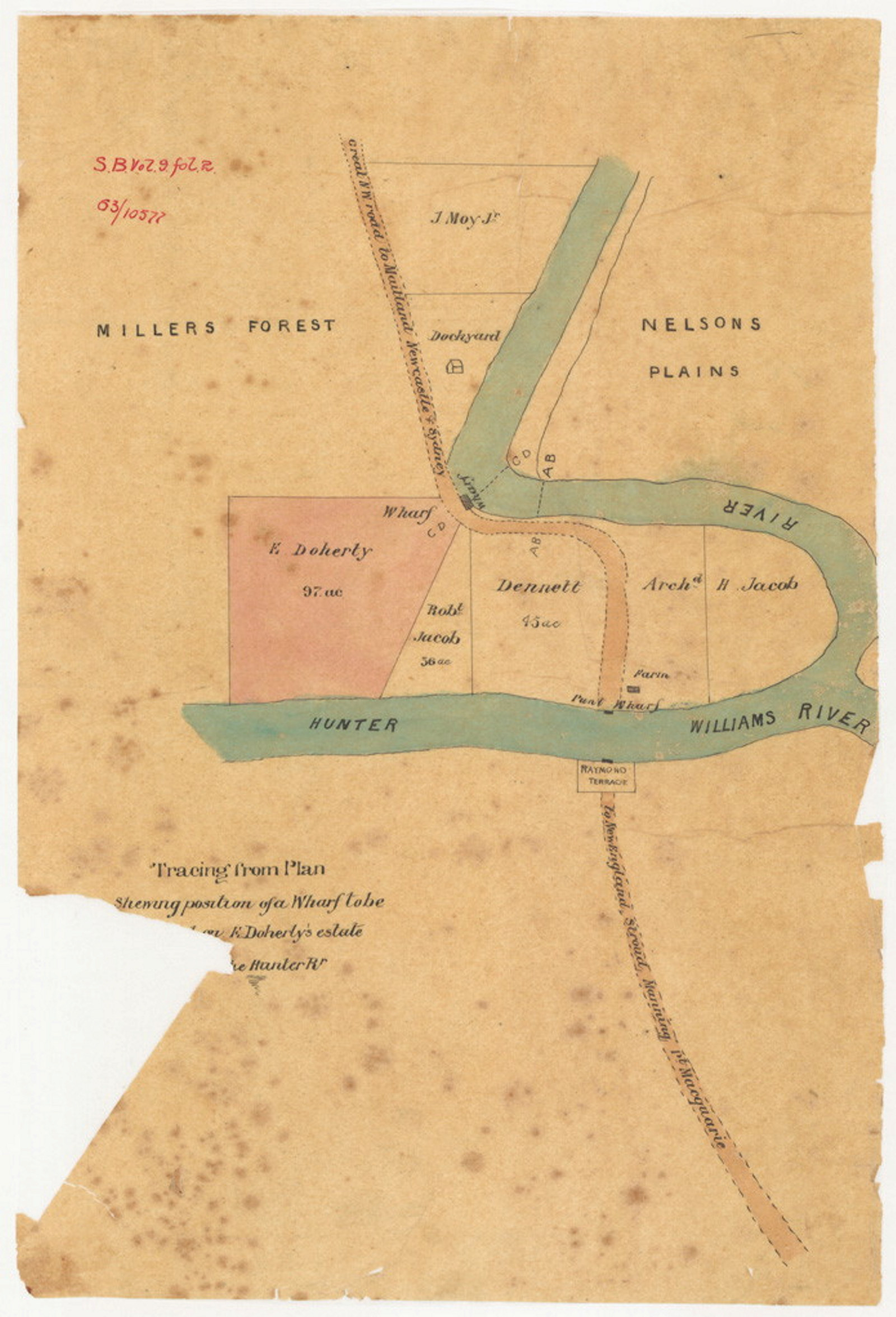
Conditional purchase of crown land guide
This Guide provides an historical background on the conditional purchase scheme in NSW from 1862 to 1951, also known as 'free selection before survey' along with a list of the major record series and step-by-step guidance on how to access them
Conditional purchase records
Conditional purchase was a process of obtaining a Crown Grant of land in NSW before it was surveyed. Watch as we discuss how to navigate this tricky area of research
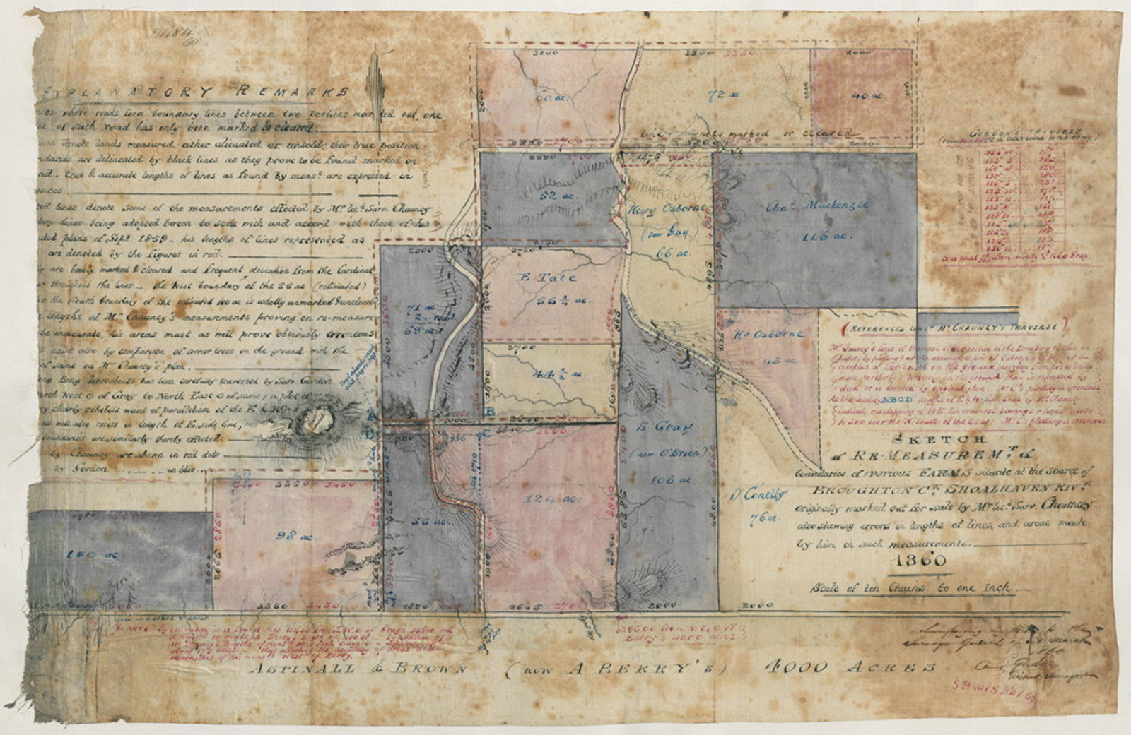
Court of Claims (Land) guide
This court resolved the claims of people who had been promised land grants but were not in possession of the titles, or where the land was in the possession of others claiming to have lawful right to it

Court of Claims (Land) index 1833-1922
This index will be of interest to those researching early or disputed land ownership

Crown lands occupation guide
Sources relating to the occupation of Crown lands in the period prior to 1856
![[Cattle grazing at Gloucester (NSW)]](https://images.mhnsw.au/fotoweb/embed/2024/07/327095c75fef47738dde02f9fd6d1e4c.jpg)
Depasturing licenses index 1837-1851
Depasturing Licences permitted settlers to graze stock on Crown Lands "beyond the limits of location". The "limits of location" refer to the nineteen counties of settled area extending from Sydney.
Finding certificate of land title numbers in the collection
Breaking into a chain of title may be easier than you think
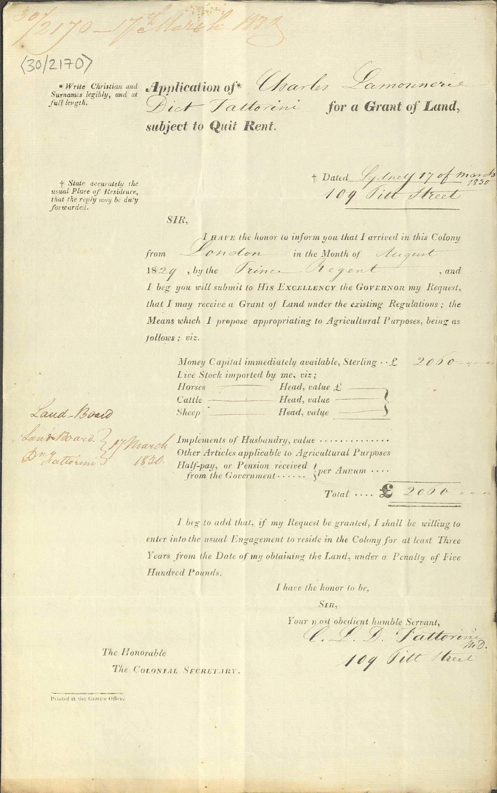
Land grants and leases (registers) 1792-1865
This is an index of the first six volumes of the Surveyor General's Registers of Land Grants and Leases [7/445, 7/447-451] and contains all grants to 1819, mainland grants to 1822 and Cumberland grants, 1823-65
Land grants guide, 1788-1856
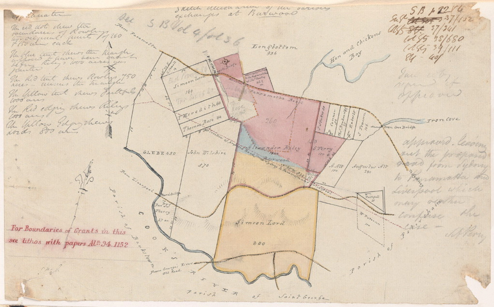
These records relate to the original alienation of land from the Crown. Parish maps are useful for research in this area, as they record original grants
Land records available at NSW State Archives
A joint initiative between NSW State Archives and Lands and Property Information (LPI) to provide online access to a number of historical land title records was announced in November 2010. Using the popular search tool PIXEL (now HLRV) researchers can now search and view Old Form Torrens Title Registers, Charting Maps and Crown Plans online
Land valuation guide
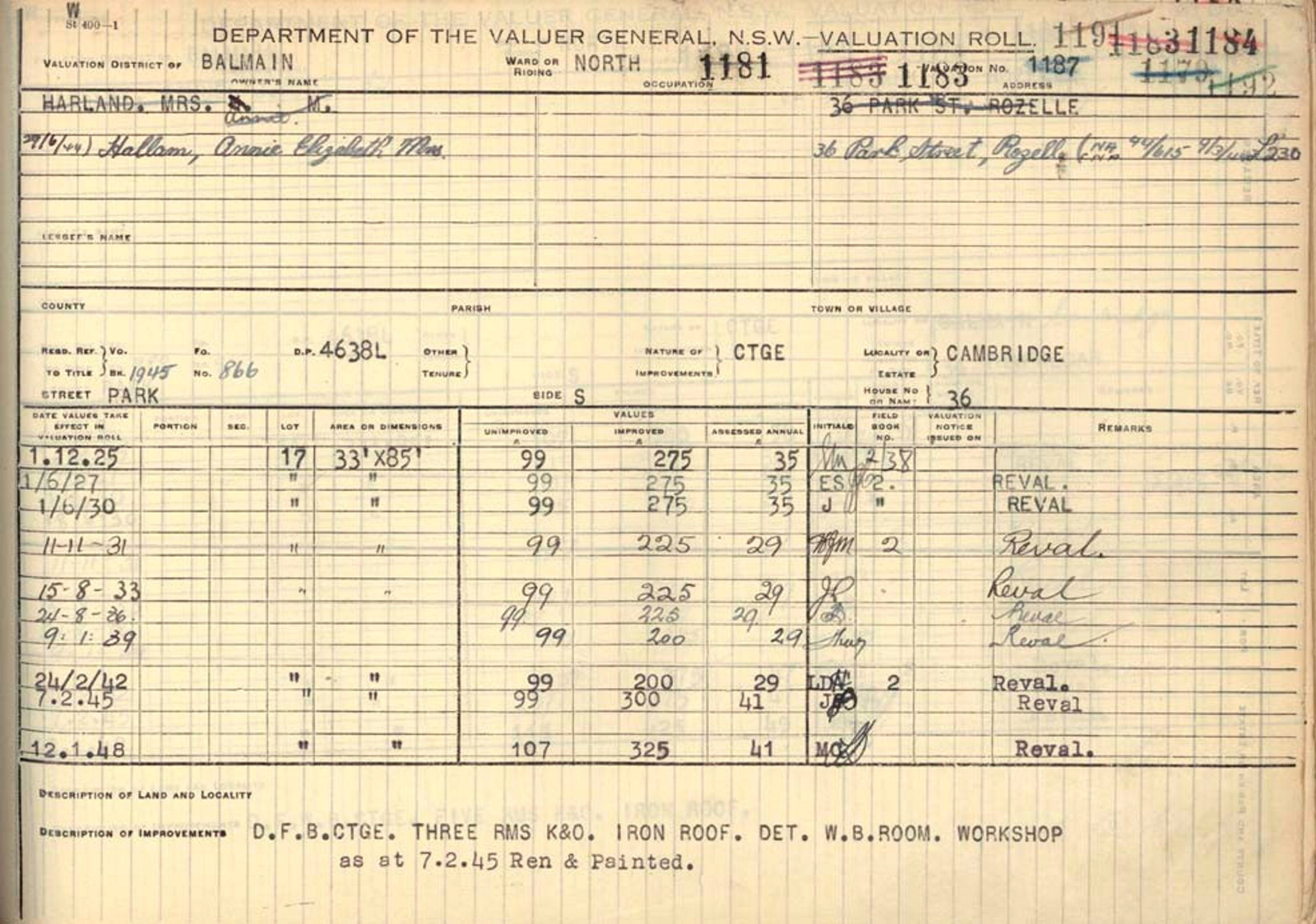
Land value refers to the monetary value of the land only and does not include the value of the home or other structures on the land