Limits of location
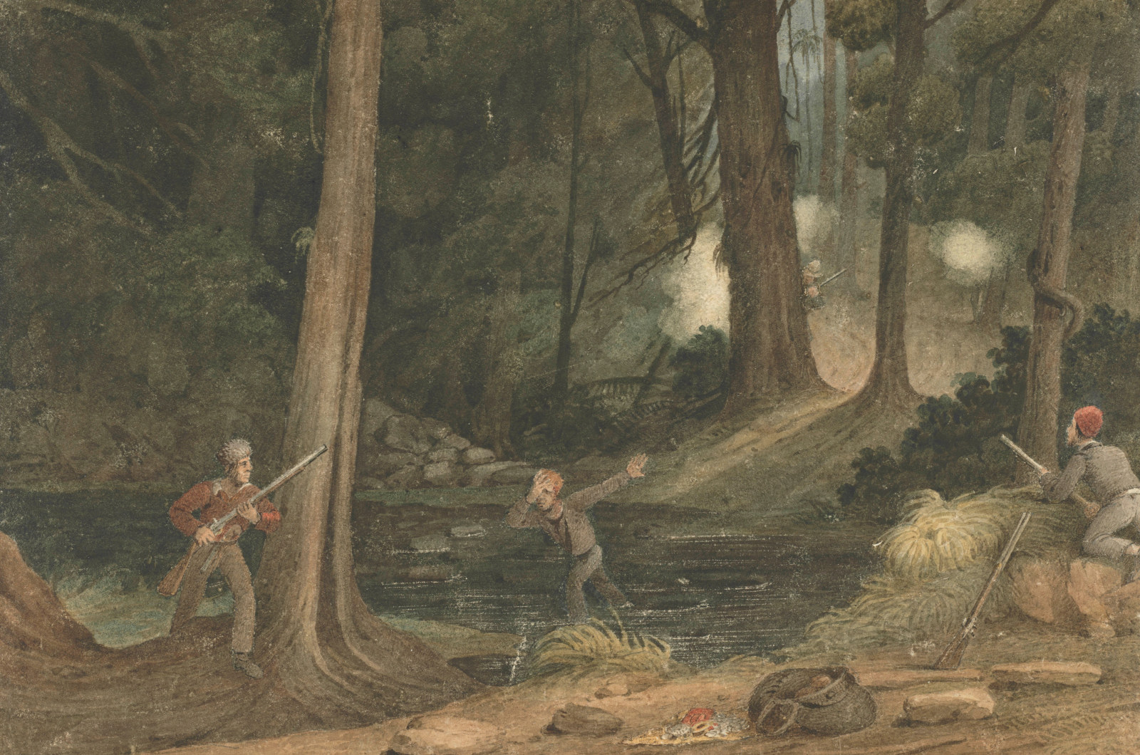
In 1829, the stern-minded and ‘coldly efficient’ governor Sir Ralph Darling stood before a map of the colony and drew a semicircular line roughly 400 kilometres from the centre of Sydney. This inked-in perimeter, declared Darling, was the ‘limits of location’, beyond which no-one could graze their herds or stock. While he was concerned about settlers straying beyond ‘the reach of government authority’, even more troubling to Darling was the alarming rise in the number of ‘bolters’, or escaped convicts, roaming the bush and preying on helpless travellers.
Not surprisingly, Darling’s ‘limits’ were ignored. A few years later, around half the colony’s sheep roamed illegally on ‘crown land’ beyond the boundary. From 1836, under the governorship of Sir Richard Bourke, a compromise was reached with the creation of so-called ‘squatter’s rights’ allowing farmers temporary occupancy beyond the official line for an annual payment of £10.

Convict Sydney
A world of pain
The combined aims of the assignment system, from 1826 onwards, were to equip farmers with cheap convict labour, to disperse convicts away from towns (and other convicts) and to keep an eye on each worker’s whereabouts and treatment
Published on