Land records available at NSW State Archives
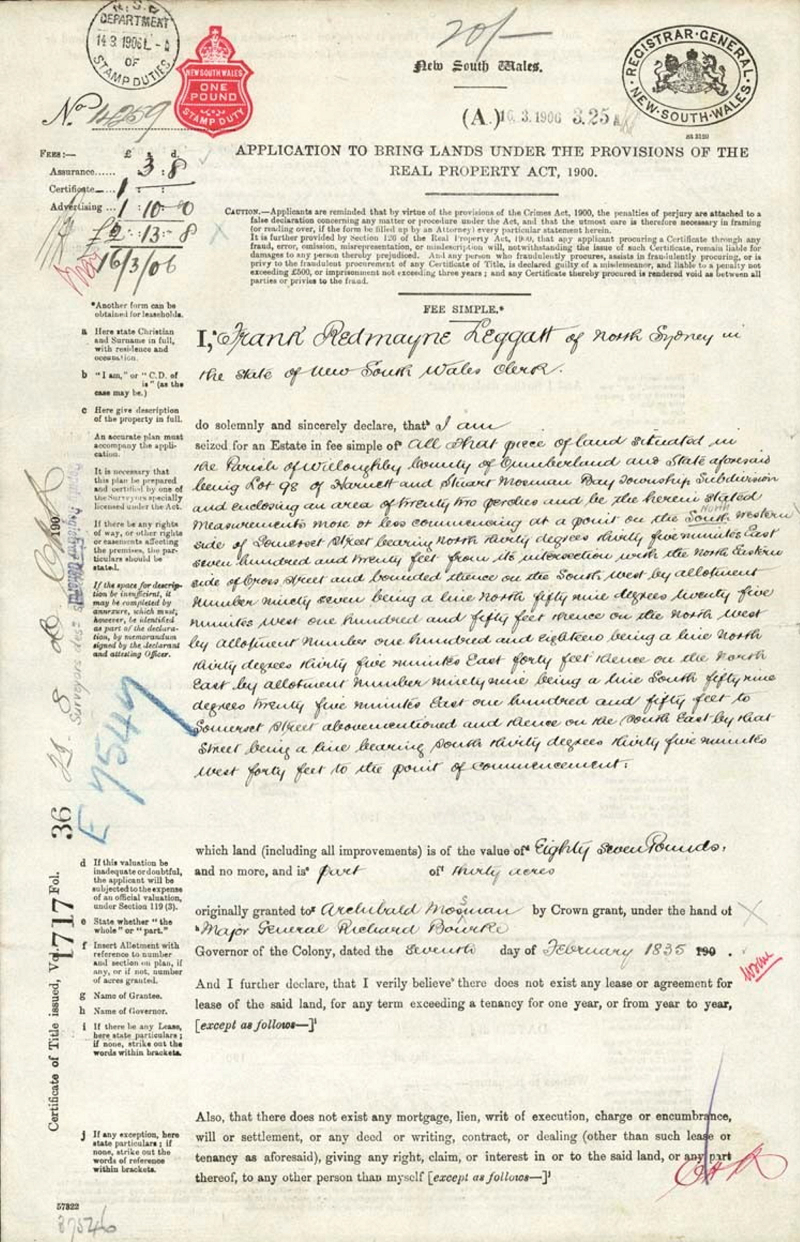
A joint initiative between NSW State Archives and Lands and Property Information (LPI) to provide online access to a number of historical land title records was announced in November 2010. Using the popular search tool PIXEL (now HLRV) researchers can now search and view Old Form Torrens Title Registers, Charting Maps and Crown Plans online.

A joint initiative between NSW State Archives and the then Lands and Property Information (LPI) to provide online access to a number of historical land title records was announced in November 2010. Using the popular search tool Historical Lands Records Viewer (HLRV) researchers can search and view Old Form Torrens Title Registers, Charting Maps and Parish Maps online. We offer free access to HLRV in the reading room: access high quality colour images of an ever growing digital collection of land title records. Please be aware copies, including printing, digital photography and screen dumps, cannot be made from these public terminals. Colour copies can be ordered through the NSW Land Registry Services network of approved information brokers.
Historical Land Records
Old Form Torrens Registers
Old Form titles were issued from 1863 to 1961. "Old Form" refers to the large paper format used for the creation of these records. Under the Torrens Title System land transactions were registered on one title document called the Register. The Register shows a chain of ownership, including transcations affecting the title over a period of time and a description of the land parcel.
Charting Maps
Charting Maps are a cadastral land boundary index that can be used to help find plan and title information relating to a parcel of land being researched. The Charting Map collection consists of Regional Parish Maps, Status Branch Parish Maps and Land Titles Office Charting Maps.
Crown plans
Crown plans are survey diagrams illustrating the state's land boundaries, natural features and may include references to early leasing and ownership of land. Digital copies of Crown Plans can be viewed on the HLRV kiosks in our reading room.
Further information on Land Registry Services NSW (LRS) land records
- For detailed information on the various land records available on the HLRV and how to search them see the LRS Information Sheets.
- For general information see the Historical Land Title Records leaflet (PDF, 768kb)
- Read the Press release for the launch of the service (PDF, 70kb)
- For information about the LRS historical collections, cultural heritage sites and archival projects see the LRS website - Historical Research.
Land records in our collection
We hold a large number of records relating to land dating back to the early days of the Colony. You may find notations and references when using HLRV that you wish to pursue, such as Conditional Purchase or Primary Application records. We have listed a number of guides, indexes and online search tools to help in your research.
Early land records
Prior to 1856 the main agencies responsible for the administration of land in the New South Wales were the Colonial Secretary, the Surveyor General and the Commissioners of Crown Lands.
- Land Grants Guide, 1788-1856
- Crown Lands Occupation Guide
- Court of Claims Guide (from 1833)
- Commissioners of Crown Lands Guide (from 1843)
Online Indexes to search:
- Index to the Colonial Secretary's papers, 1788-1825 (search by person for early land grants)
- Index to the Colonial Secretary's Letters relating to land, 1826-56
- List of other online Land records to search
Surveyor General
The cartographic records of the Surveyor General provide some of the most detailed and comprehensive descriptions of the nature use, agricultural potential and occupancy of land in the colony.
Online Indexes to search:
Parish Maps
The Parish Maps have notations and references which can lead to our records, HLRV or the Land and Property Information (LPI) records.
Conditional Purchase records
A Conditional Purchase was a way of obtaining a Crown Grant for land before it was surveyed. Established in 1861, the grant was dependent on a set of conditions being met.
Soldier Settlement
The passage of the Returned Soldiers Settlement Act 1916, (Act No 21 1916) allowed the settlement of returned soldiers on Crown and Closer Settlement lands. When applying for land, an ex-serviceman was required to complete a Qualification Certificate which was a declaration of his or her status as an ex-service person and eligibility for land.