NSW Surveyor Field Books: What Every Researcher Needs to Know
Surveyor field books are an underutilised resource when researching land in NSW.
Created by surveyors when gathering information for the drawing up of Crown Plans, these notebooks are the primary record of a survey and capture everything from the rigours of surveying expeditions to descriptions of natural features and sketches of farms, town allotments and roads.
The NSW State Archives Collection holds thousands of field books submitted to the Surveyor General, dating from as early as 1794 to the 1990s. Join us for this webinar to learn how to access these fabulous records detailing the landscapes of NSW and explore the information they contain.
Related
Browse all
Surveyor General guide
These cartographic records provide detailed descriptions of the nature, agricultural potential & occupancy of land in the colony
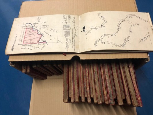
Surveyors' field books 1794-1860
The index records surveyor's name, date and locality covered and gives book and citation numbers
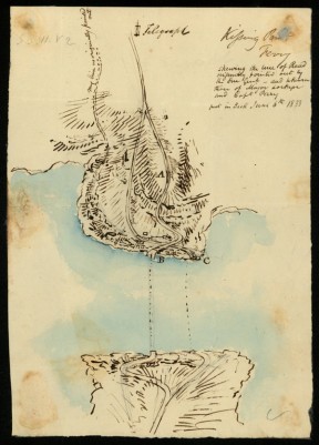
Surveyor General's crown plans 1792-1886
A complete listing of the Surveyor General's Crown Plans from the Select List of Maps and Plans (and Supplement), 1792-1886